Please load the free app AVENZA Maps into your phone to help you find where you are in an emergency. Once set up, the app works WITHOUT mobile reception.
Basic Instructions (for tech-savvy users)
Install Avenza Maps app and then open it.
Import the event map using the hyperlink in the step by step instructions.
Full Step-By-Step Instructions
Installing & Opening Avenza Maps
- Open app store
- Search for, and install “Avenza Maps”. If you already have the app, please update it now.
- Once installed, open Avenza Maps
- If asked, allow Avenza Maps to access your location while using the app.
- Press “x” on the screen that says “sign in” and “I’m new”
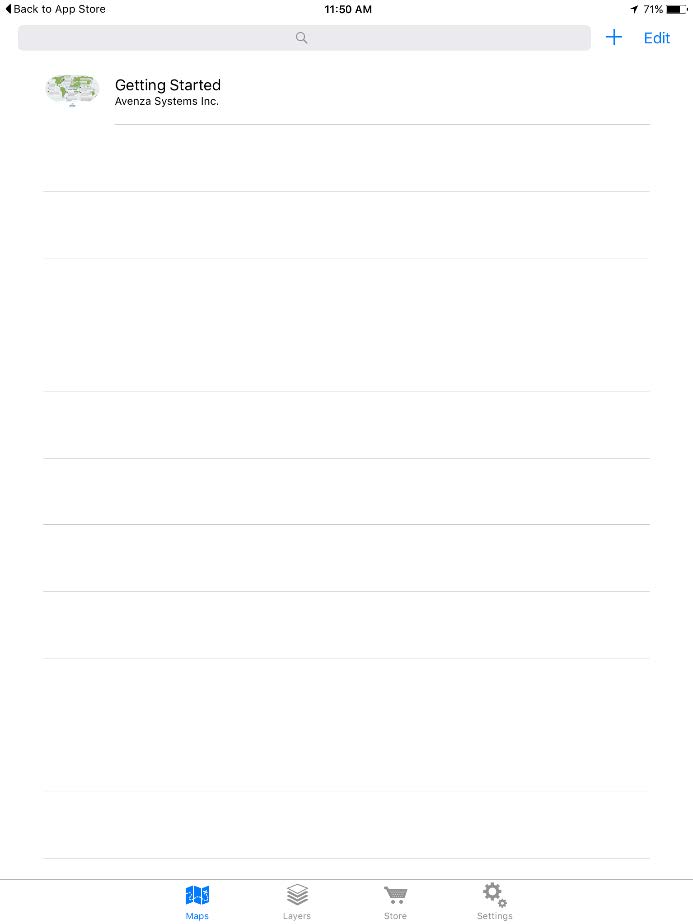
- You will find yourself on the “Maps” screen
Importing the Event Map
- Open this web page on the device that you have installed Avenza maps on.
- Copy the following link (long press on top of the link & select “copy”)
Gone Nuts Map Links:
For runners: https://www.eventsafetyservices.com.au/eventmaps/gone-nuts-runner-map-090221-1319hrs.tif
For event crew: https://www.eventsafetyservices.com.au/eventmaps/gone-nuts-course-management-map-160221-1627hrs.tif - Go to Avenza maps
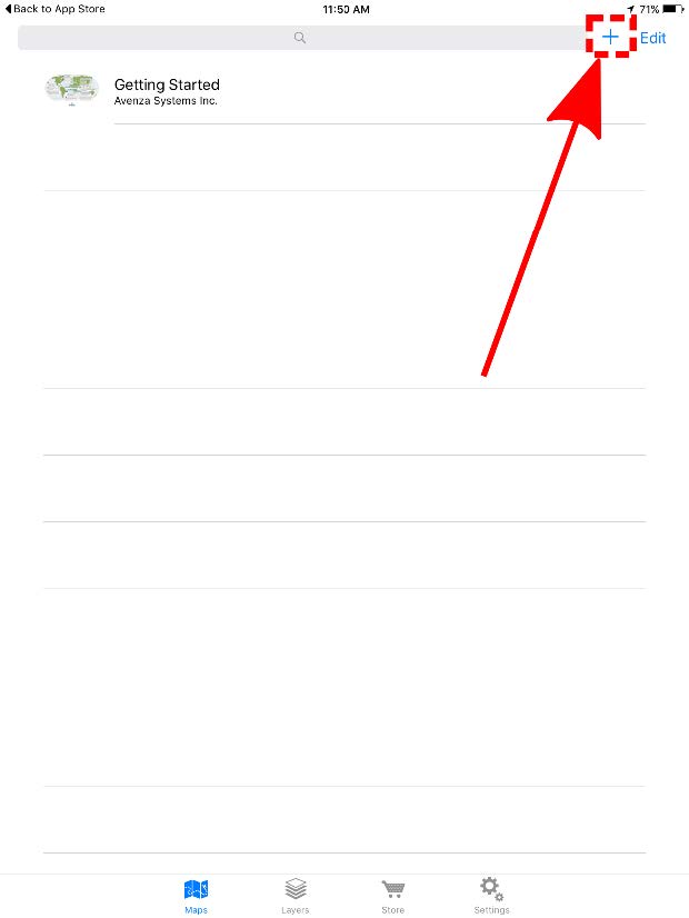
- Click the “+” symbol at top right
- Paste the link you copied earlier into “From the Web”
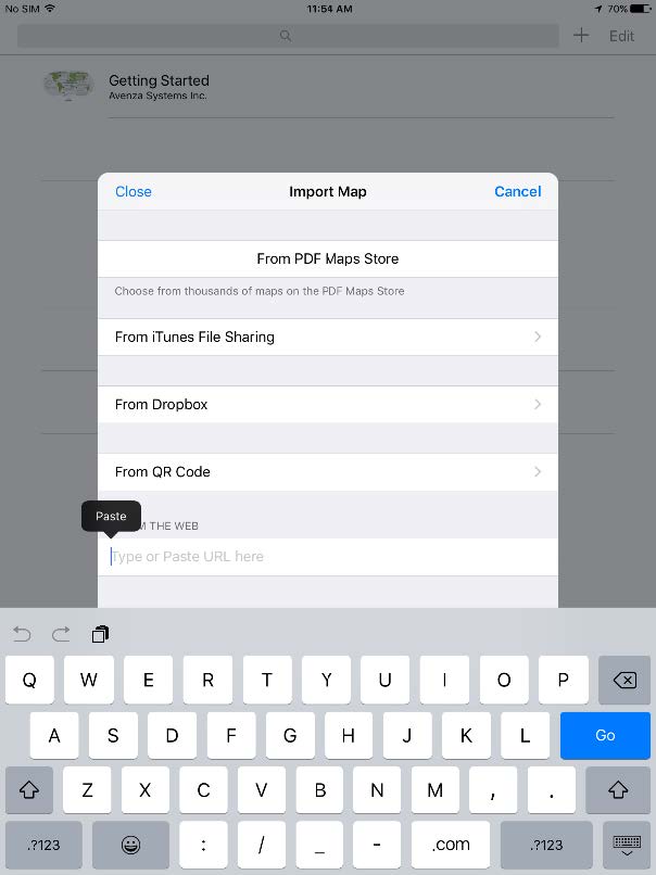
- Press “Go”
- After the map has finished processing, tap to open.
- If you would like to change the name of the map, click the “i” symbol at top right and choose a different title.
Using Avenza Maps
- To make full use of Avenza maps, GPS must be turned on in your device. See troubleshooting if you need help with this*
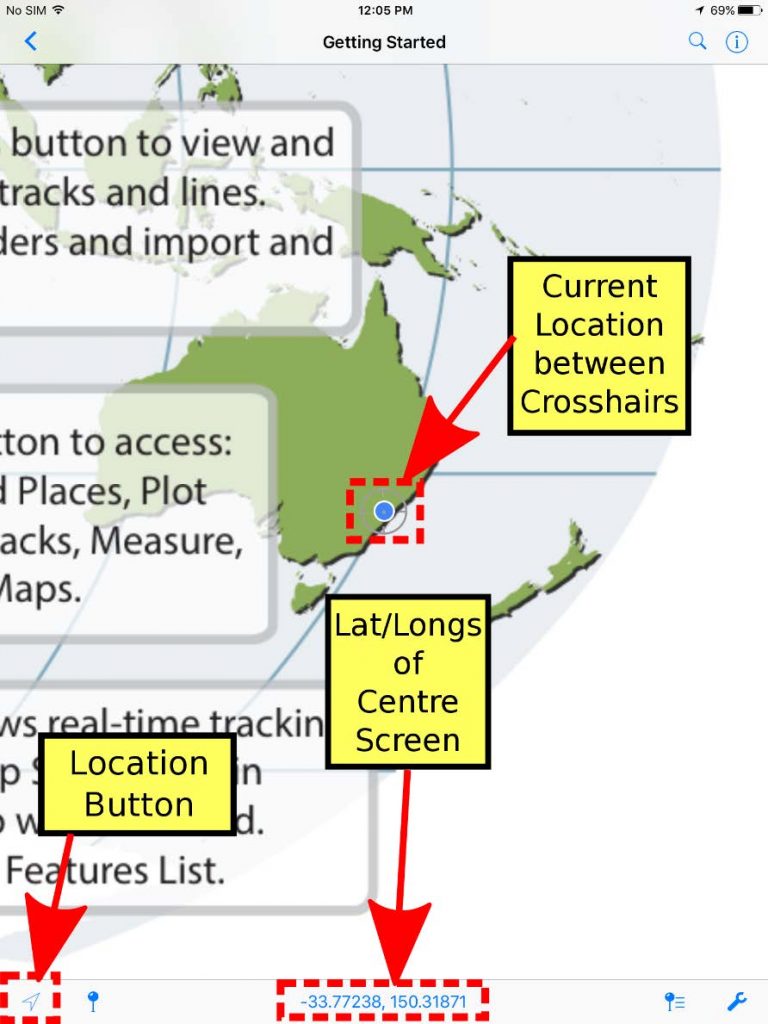
On the map, key locations are marked with black lines & different coloured labels. The course route is shown as a blue line for the 101km course only, pink line for the 101km and 50km shared course, and purple line for the 101km, 50km, and 25 km shared course. - The latitude and longitude numbers at the bottom of screen correspond to the point that the cross-hairs are targeting at centre screen.
- Therefore, you can scroll around to any position on the map & determine the co-ordinates of the location between the cross-hairs.
- Your current GPS location is displayed on the map as a blue dot.
- Press the Location Button to centre in on your current location. Once this is done, you’ll know YOUR current lat/long coordinates. This will only work if you are physically located within the map boundaries.
Troubleshooting
*Devices with an inbuilt GPS chip (most smart phones and tablets) can determine your geographical position using GPS (Global Positioning System). This does not rely on having mobile reception. Follow the instructions below if you don’t know how to turn on GPS.
How to activate or deactivate the GPS function:
- Go to “Settings”
- Go to “Privacy”
- Go to “Location Services”
- Press the indicator next to Location Services to activate or deactivate GPS
These instructions are general and may vary slightly depending on your brand and model of device. If they don’t provide you with enough information try using your device’s user manual and/or do a web search to get more information.